





Introduction — Why combine metro and bike lanes in Barcelona
Barcelona is a city with many ways to get around: a fast metro, trams, buses, bike-share systems and a growing network of separated bike lanes. To explore diverse neighborhoods like the Eixample, Barceloneta, Gràcia or Poblenou, mixing metro + bike can save time, cut fatigue and give you the freedom to discover side streets, parks and modernist facades at your own pace. This detailed guide focuses on the best apps to help you navigate efficiently between metro stations and Barcelona’s bike corridors — maps, mixed-route planning, bike-share availability, protected lane info, elevation, gradients and practical tips for each journey.
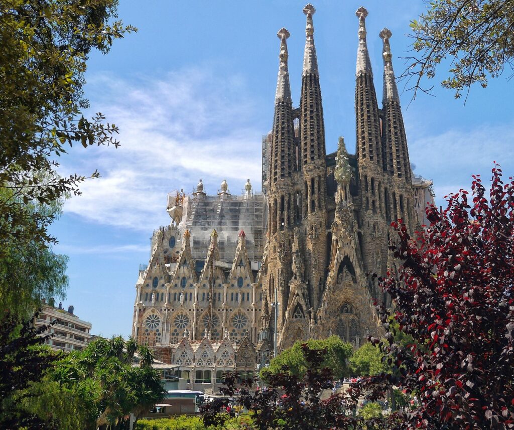
The goal here isn’t just to list apps, but to provide concrete scenarios and exact addresses. You’ll find example routes from strategic points like Plaça de Catalunya (Plaça de Catalunya, 08002 Barcelona) to the Sagrada Família (Carrer de Mallorca, 401, 08013 Barcelona), or from Barceloneta metro station (Plaça de la Barceloneta, 1, 08003 Barcelona) to Parc de la Ciutadella (Passeig de Picasso, 21, 08003 Barcelona). For each route I outline recommended legs, alternatives for works or closures, approximate costs (in euros) for paid services, and typical public-transport hours.
The selected apps cover several needs: multimodal route planning (metro + bike), locating protected bike lanes, Bicing station maps (the municipal bike-share), real-time bike and dock availability, guided navigation for urban cyclists, and tools to map and share your own routes. Some are essential for occasional visitors (e.g. Google Maps, Citymapper); others target regular cyclists who want to optimize daily commutes (e.g. Komoot, Strava, Ride with GPS); and of course there’s the official Bicing app for using the municipal bikes.
Practical note: prices and schedules can change — for example the annual Bicing subscription was recently around €49.82 for the standard plan, but rates may be updated seasonally or by municipal reform. Metro hours in Barcelona are generally 5:00–00:00 on weekdays (with extended night services on some lines at weekends), but always check the day’s schedule via the TMB app (Transports Metropolitans de Barcelona) before planning late trips. Further down you’ll find local tips, exact addresses of key spots, and 7–12 visual markers to better orient yourself on the ground.
1) Google Maps — the must-have for multimodal trips
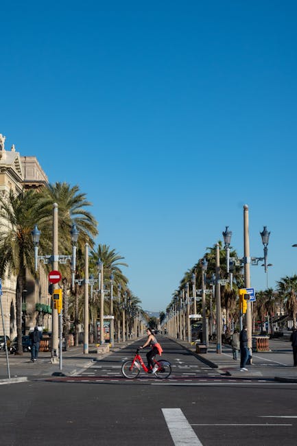
Google Maps remains the most-used app for planning multimodal trips because it combines detailed maps, real-time traffic info and options for walking, public transport and cycling. In Barcelona, Google Maps can propose routes that mix metro + bike: enter a start like Plaça de Catalunya (Plaça de Catalunya, 08002 Barcelona) and a destination such as Parc de la Ciutadella (Passeig de Picasso, 21, 08003 Barcelona), then choose the “bike + transit” option to get an optimized combo.
Key features:
- Combined routes: calculates metro and bike segments, specifying transfers, durations and cycling distances.
- Bike lane overlay: highlights main and secondary bike lanes (color-coded and with estimated speed).
- Real-time info: TMB delays, temporary closures and incidents reported by the community.
Real example: Plaça de Catalunya (Plaça de Catalunya, 08002 Barcelona) to Sagrada Família (Carrer de Mallorca, 401, 08013 Barcelona)
- Option 1 (metro + bike): take L1 (red) from Plaça de Catalunya to Universitat (2 stops), then pick up a bike (Bicing or your own) to ride up Passeig de Sant Joan to the Sagrada Família — estimated duration: 18–25 minutes. Cost: single TMB ticket €2.50 (or the T-casual card €11.35 for 10 trips); if you use Bicing see the Bicing section for pricing.
- Option 2 (bike only): 20–30 minutes depending on pace, via Carrer de Pau Claris and Passeig de Gràcia, with many protected lanes across the Eixample.
Limitations: Google Maps may not always reflect temporary works on bike lanes or local constraints (markets, pedestrianized areas at weekends). For finer accuracy on protected lanes and road surfaces, combine it with bike-dedicated apps.
2) Citymapper and TMB App — precise planning and official transit info
Citymapper (iOS/Android) is built for urban mobility and performs very well in Barcelona. It offers explicit multimodal routes, time comparisons (metro only vs metro + bike vs bike only), and integrates some local services like Bicing. The interface compares cost (in euros), duration and CO2 footprint. Citymapper also suggests “hoppers” (alternative solutions) when the main route is delayed.
Features and benefits:
- Real-time comparison: shows the best option depending on the hour (e.g. avoid L1 during rush hour).
- Notifications: alerts for works, temporary closures and incidents on TMB lines.
- Bicing integration: visualizes stations and approximate availability (when allowed by the operator).
The official Transports Metropolitans de Barcelona app (TMB App) is essential for anyone who wants authoritative information. It provides exact metro timetables, interchange maps, ticket machine locations and station closing times. TMB headquarters for inquiries: TMB – Consorci de Transports, Plaça de la Universitat, 1, 08007 Barcelona (note: some official info is also available at tourist information offices). Public assistance hours: typically 9:00–19:00 weekdays (check for variations). Transport fares: single ticket €2.50, T-casual €11.35 (10 trips), Hola Barcelona Travel Card 2 days €16.40, 3 days €23.70 (indicative prices). Always verify up-to-date fares in the app.
Real example: Barceloneta to Parc de la Ciutadella
- Start: Barceloneta (Plaça de la Barceloneta, 1, 08003 Barcelona) — nearest metro: Barceloneta, L4 (yellow).
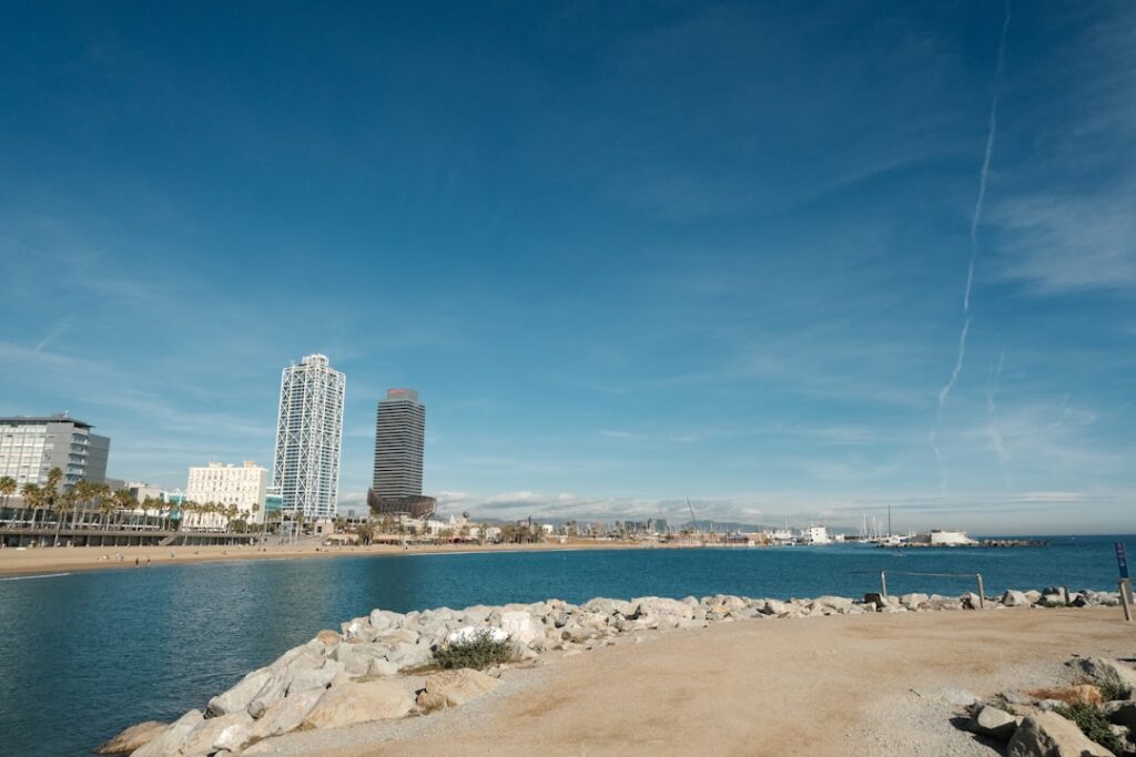
- Recommended option: if you have a bike, ride along the Passeig Marítim to Parc de la Ciutadella (10–15 minutes) using the seaside lanes; otherwise take L4 two stops to Ciutadella-Vila Olímpica (metro ~4 minutes). Metro cost: €2.50 single ticket.
3) Bicing App and the municipal bike network — freedom and limits
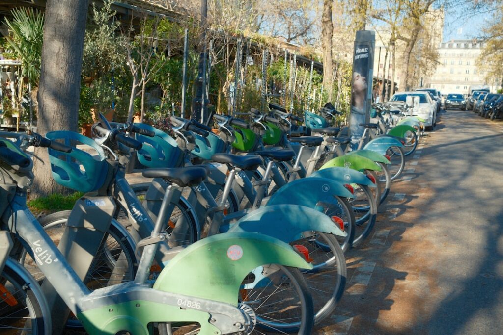
Bicing is Barcelona’s municipal bike-share, run by the city council. For visitors staying a few weeks or more, Bicing can be an economical and practical way to combine with the metro. Useful administrative address: Oficina Bicing, and Plaça de Catalunya information points often host tourist services; for in-person help visit municipal Mobility offices. Bicing requires a subscription.
Rates (indicative and subject to change):
- Annual Bicing subscription (standard): around €49.82 / year (2023–2024 indicative rate). This plan includes a set number of free minutes per rental; after that, per-minute fees apply (e.g. €0.35 / minute beyond the included period — check the app for exact pricing).
- Other plans: options with more included minutes or resident-focused subscriptions; prices vary.
Bicing app features:
- Station map: exact station locations, dock addresses, real-time counts of bikes and free spots.
- Multimodal suggestions: recommends stations close to metro stops (e.g. Bicing station at Plaça de Catalunya near L1/L3 access).
- Locking and billing: rental via QR, account management (history, payments).
Local tips:
- During peak hours (08:00–10:00 and 17:00–19:00) some central stations can run out of bikes — always check the app before relying on one.
- Respect Bicing parking zones: dock the bike in an official stand to avoid extra fees. If you must end your trip away from a dock, use the app to find the nearest station.
- Most tourist trips around the Eixample or waterfront take 10–25 minutes. Example: from Bicing station Passeig de Gràcia 1 (Passeig de Gràcia, 1, 08007 Barcelona) to Bicing Sagrada Família (Carrer de Mallorca, 401, 08013 Barcelona) — 12–15 minutes depending on traffic.
4) Komoot, Ride with GPS and Strava — for riders who like to plan and save routes
If you’re a cyclist who likes to plan every detail — road surface, elevation, voice directions — Komoot, Ride with GPS and Strava are valuable complementary tools. These apps focus on bike navigation, voice guidance and offline mapping. They’re especially useful if you want to avoid narrow, crowded streets and favor continuous bike lanes.
Highlights of each app:
- Komoot: great for creating custom routes based on bike type (city, gravel, road). Shows elevation profiles and surface types (tarmac, cobbles). You can buy regional maps (e.g. Catalonia region map ~€4.99) for offline use.
- Ride with GPS: tailored for navigation and event routing; easy GPX export to bike computers (Wahoo, Garmin).
- Strava: community features, segments and performance comparisons; useful for spotting popular fast stretches and sharing routes with other Barcelona cyclists.
Practical example: route to avoid the congested Via Laietana
Say you start at Plaça de Sant Jaume (Plaça de Sant Jaume, 1, 08002 Barcelona) heading to Poblenou (Passeig del Taulat, 08005 Barcelona). Komoot can plan a route that skips Via Laietana by using Passeig de Picasso, Carrer de la Ciutat, and then cutting through Parc de la Ciutadella on the park’s inner cycle path. Estimated cycling time: 20–30 minutes. Benefit: quieter surfaces, fewer traffic lights and easier detours around pedestrian zones.
Costs: apps offer free tiers; full access (offline maps, advanced features) may require payment. Komoot sells in-app map packs (regional maps ≈ €4.99; Europe Pass ≈ €30–40 depending on promotions). Ride with GPS / Strava have premium subscriptions roughly €5–8 / month.
5) OSMAnd, OpenCycleMap and open-source tools — detailed maps and customization
For users who prefer open data and deep customization, OSMAnd combined with OpenCycleMap (based on OpenStreetMap) is an excellent alternative. OSMAnd lets you download very detailed offline maps, display bike lanes by protection level and tweak preferences (avoid stairs, prioritize protected lanes, etc.). These tools are ideal for cyclists staying longer who want local maps and GPX tracks. They’re also handy where mobile coverage is weak — for example along the coast or on certain thoroughfares.
Features:
- Offline maps: download the Province of Barcelona map for full navigation without a connection.
- Lane styling: clear differentiation between dedicated lanes, cycle strips and mixed streets.
- GPX customization: import/export tracks to create a personal guide.
Use case: plan a morning sightseeing ride
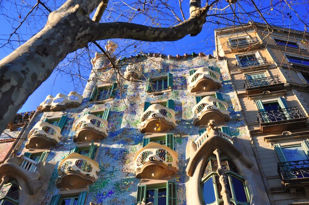
Route: Passeig de Gràcia (Passeig de Gràcia, 1, 08007 Barcelona) → Casa Batlló (Passeig de Gràcia, 43, 08007 Barcelona) → Sagrada Família (Carrer de Mallorca, 401, 08013 Barcelona) → Parc Güell (Carrer d’Olot, s/n, 08024 Barcelona). OSMAnd helps you pick the least steep streets (important for the climb to Parc Güell) and estimate time for an e-bike or a regular bike. Total distance: roughly 8–10 km; plan 1 hr 15 min to 1 hr 45 min depending on stops.
Practical local tips for combining metro and bike lanes
Here are concrete tips from local experience to get the most out of the apps and Barcelona’s network:
- Plan intermodal spots: pre-identify stations where it’s easy to switch metro → bike. Examples: Plaça de Catalunya (L1/L3/L6 access), Passeig de Gràcia (Passeig de Gràcia, 08007 Barcelona — near L2/L3/L4) and Sants Estació (Plaça dels Països Catalans, 1, 08014 Barcelona) for longer-distance links.
- Times to avoid: L1 and L3 get very crowded at peak times; opt to travel slightly earlier or later to pick up a bike without the rush.
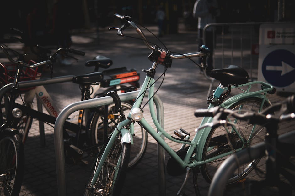
- Bike parking: respect Bicing zones and parking signage. If using a private bike, lock it with a quality U-lock to official racks outside parks and stations.
- Road safety: even on protected lanes stay alert for car doors (street parking next to lanes), pedestrians and delivery riders. Priority can change quickly on small Eixample streets.
- Gear up: helmet recommended (mandatory for some e-bikes), front/rear lights if riding early or late. Rental shops like “Rent a Bike Barcelona” often rent helmets from €3–5 / day.
Conclusion — Pick the right app for your needs in Barcelona
To sum up: there’s no single app that does everything perfectly. Google Maps and Citymapper are must-haves for quick planning and real-time info. The official TMB app is necessary for metro timetables and official tickets. Bicing is the most practical solution for residents or longer stays who want to swap between metro and bikes without storage worries. For performance-minded cyclists, Komoot, Ride with GPS and Strava provide precision, sharing and voice guidance; and OSMAnd with OpenCycleMap is my recommendation if you want detailed offline mapping and the freedom to adapt GPX traces.
Final tip: use at least two apps together. For example, use Citymapper to decide the multimodal route, the Bicing app to check bike availability and OSMAnd for final navigation through charming small streets. On your first visit to Barcelona, plan three sample routes (short urban hop, waterfront path and scenic ride) and test them during off-peak hours to learn local patterns: where lanes end, which routes are more pleasant and where to park stress-free.
Also keep basic practical info in mind: single metro ticket €2.50, T-casual €11.35 (10 trips), Bicing subscriptions around €49.82 / year (indicative), and metro hours typically 5:00–24:00 weekdays with occasional extensions — check official apps for up-to-date details. By combining these tools you’ll not only optimize travel but discover Barcelona differently: smelling the harbor breeze, enjoying a coffee break on Passeig de Gràcia or admiring the Sagrada Família from a protected bike lane.